Easter Island
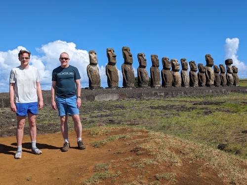
In March 2024, I visited Easter Island to view the Moai and to locate Rapa Nui's Point of Inaccessibility.
Easter Island is one of the world's remotest inhabited islands, with the nearest settlement being on Pitcairn Island, some 2,075 kilometres away.
The name "Easter Island" was given by the Dutch explorer Jacob Roggeveen, who discovered it on Easter Sunday in 1722.
Easter Islanders are referred to in Spanish as 'Pascuense', but members of the indigenous community are commonly called Rapa Nui.
Chile annexed Easter Island in 1888 but only granted the native Rapa Nui Chilean citizenship in 1966. Though Chile did then grant the island "special territory" constitutional status in 2007.
Map of Easter Island
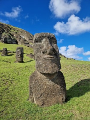
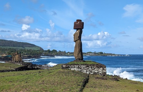
Most people will know the island for the Moai statues which are large monolithic human figures believed to have been carved by the Rapa Nui between 1250 and 1500. Most of the heads, about half, are still in a quarry on the island called Rano Raku. The others have been transported around the island's perimeter on plinths or stone platforms called Ahu. The tallest is 10 metres high and weighs 81 tons! They are carved from volcanic tuff, which is solidified volcanic ash.
The Point of Inaccessibility of the island is at the coordinates 27° 6.4583'S, 109° 21.6283'W, where the red marker lies on the map above, and lies 5.1km from the coast.
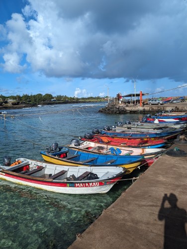
This adventure was a side trip from Santiago on my way to Puerto Montt for the Point Nemo Expedition